Day 3 – Missi Island/Amisk Lake Canoe Trip – Northward along West side of Missi Island
Woke up at 4:40 am from the early light and hard ground. I think this was before we discovered therma-rests and had the thin blue foamies instead.
Loon calls echoed across the still, quite water. Until I threw large rocks in the water to wake up the others! This was intended as a joke as we had woke up at 11:30 pm the previous night to investigate large splashing noises. We assumed it was a beaver but could not confirm the mysterious creature’s identity. The bonus was an incredible array of northern lights amidst star-studded skies.
I’m not sure if the joke was appreciated.
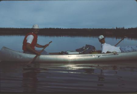
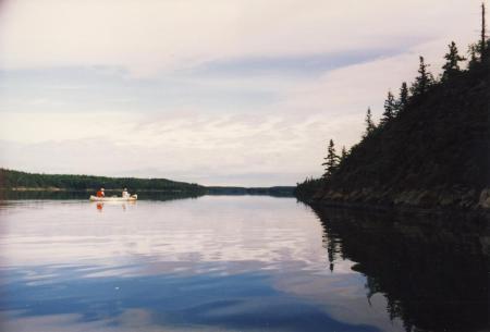
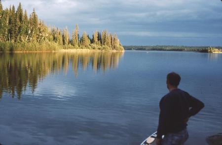
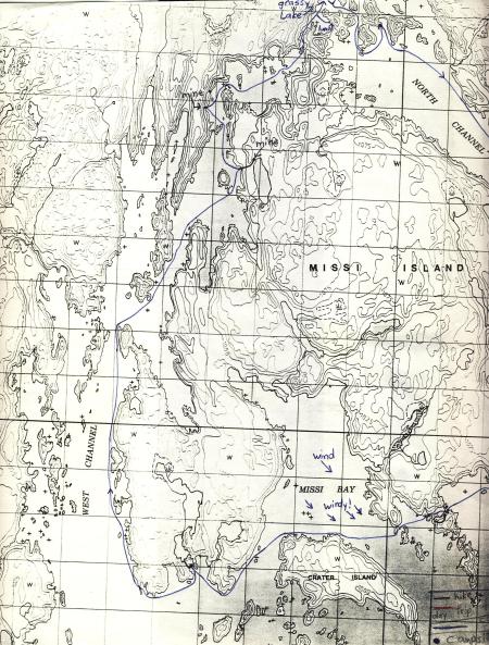
Breakfast likely of granola and UHT milk and/or oatmeal, typical stand-bys at the time (I’ve since modified the typical camping diet). Packed up and on the water by 6:30 am. We canoed up the West Channel (west of Missi Island) in calm waters and little wind.
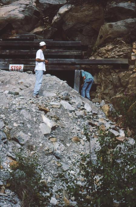
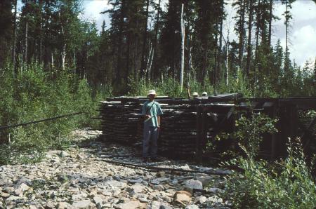
Three hours and 11 km later (3.7 km/hr avg) we reached a relatively recent (last 10-20 years maybe) gold mine site, now shut down. It was a ~400 m walk down a well-worn road (with small trees growing in it) to the mine shaft entrance. Along the way we came across racks of core samples.
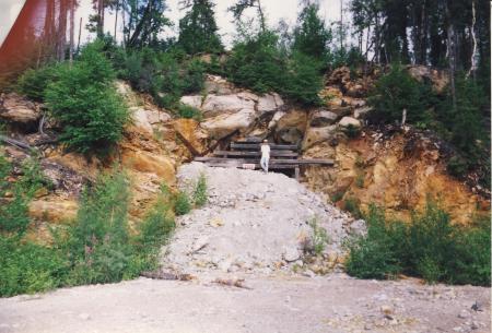
The samples appeared to contain numerous gold-coloured specks. We weren’t sure if it was real gold or “fool’s gold” (pyrite), but we collected some just in case, or at least as souvenirs. The mine entrance was boarded off with a large excavation pile placed against it.
Although we tried, there was no way in.
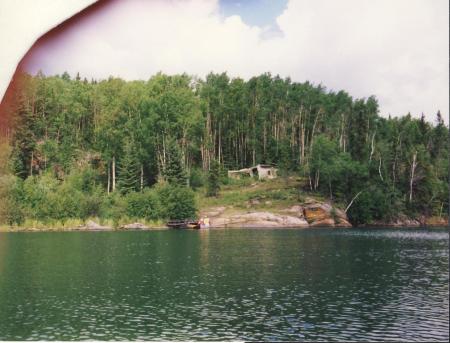
Back in the water at 10:30 am. The wind was picking up from the south, to our advantage. Within a short time (1.5 km) we reached the historic Prince Albert (Monarch) mine site.
This mine was discovered by Dan and Tom Creighton, Leon Dion and John Mosher in 1913. They were the first to find gold in the Amisk Lake area, at this particular site. The first inclined shaft was dug 20 m in 1914. In 1936 the Monarch Gold Mine syndicate deepened the shaft and installed a 29 ton per day mill. From 1937 to 1942, 140 kg of gold were produced. The mine closed in 1945. [Source: Saskatchewan Parks and Renewable Resources].
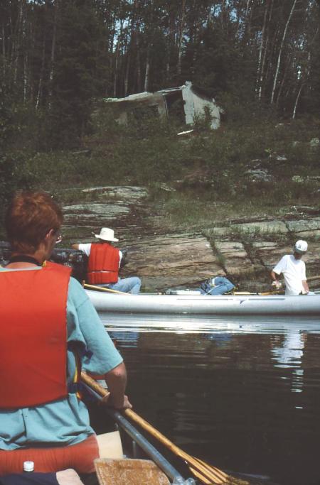
Amazingly, there was still an old dock remaining that we could tie our canoes to.
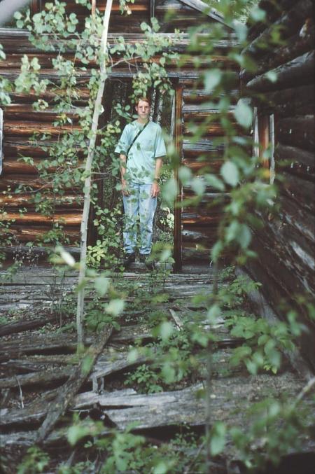
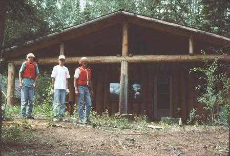
An old log cabin with crumbling plaster sat near shore.
We reflected what it must have been like to live and work at such an isolated location.
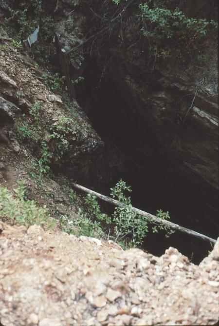
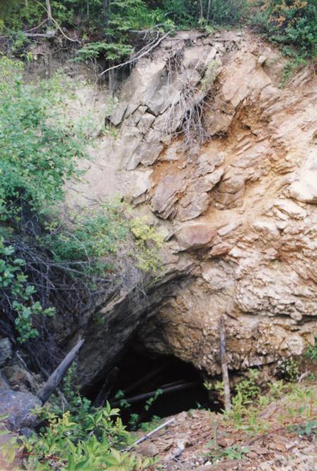
I would not recommend exploring this site at night. Even in the day one is surprised after climbing the tailings pile to suddenly and without warning find a large vertical hole in the earth!
The bottom of the shafts were filled with water.
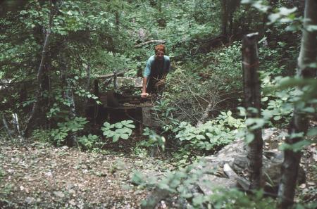
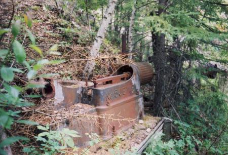
Also on the site was some old rusted machinery, including what appeared to be a steam-powered winch.
The winch, engine and boilers lay scattered in the bushes. We also found what appeared to be an old core shack with caved-in roof and another steam engine nearby.
To my fascination, an old road led west into the forest, away from the water and mine site. Thinking it likely to be short and leading to some more old buildings or machinery, I followed it. To my surprise it led for some distance (maybe 300 m) before I had to turn back to join the others. To this day curiousity burns as to wear that old road might lead. There is no evidence of civilization for many miles in this direction according to the maps. Some day I’ll maybe return to find out.
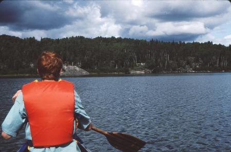
We left the historic mine site at 11:35 am (yes the trip log is this accurate, apparently), continuing northeast around Missi Island. We were suddenly hit with 5 minutes of rain which, catching us off guard, got us wet. The west channel narrowed to about 100 m, a large change from 1 – 2 km width further south.
We ate lunch from 12:30 pm to 1:30 pm on Royal Island at a nice sunny spot.
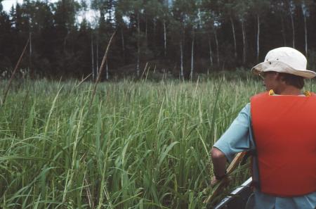
After some debate, we decided to take a side trip further north through a narrow reed-filled channel into Grassy Lake to look for a campsite. The west side of the channel was lined with rocky cliffs, called “block faulting” by the trip guide.
Part-way up the channel there was a log cabin likely used primarily by fishermen.
We continued up the reed-filled channel.
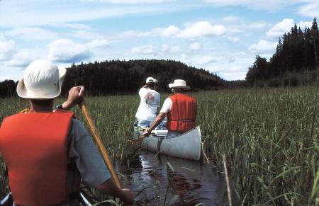
Grassy Lake was, as expected, grassy. Only a small area in the middle of the lake was grass-free.
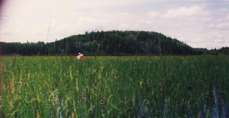
This is not recorded, but I seem to recall that I, being the die-hard explorer, talked everyone into this side trip, knowing full well it would be a side trip and not a likely a suitable camping destination. The consensus was definitely not in favour of camping here, with some concern about bugs that seemed to find the reed-grass a desirable habitat.
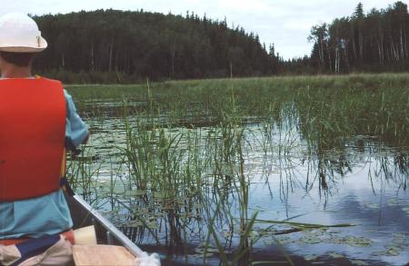
The flies did not bite, but were continually flying in our faces while passing through and disturbing the reeds. We turned around and headed hastily back down the Grassy Lake access channel to the Missi Island North Channel.
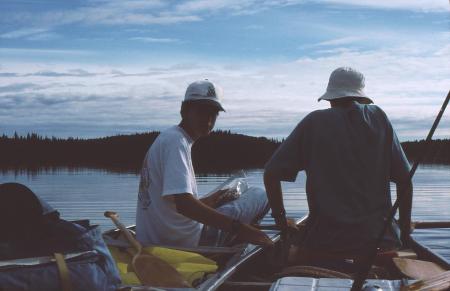
The pressure was now on to find a decent campsite before supper. Fortunately, a strong northwest (tail) wind was blowing down the North Channel. We made quick progress, finding a campsite on Parker Island, the next island east of Royal Island (where we had lunch). We camped on an island-like peninsula, within a natural harbour on the south side of Parker Island. Parker Island is about 1 x 1 km in size.
As we approached shore, a beaver sitting on shore dove into the water and under the canoe. The water was clear so that the beaver was clearly visible, swimming under water, an impressive sight. We landed at 4:30 pm and set up camp. We had to set up the tents further back into the trees to find reasonably level and treeless tent sites.
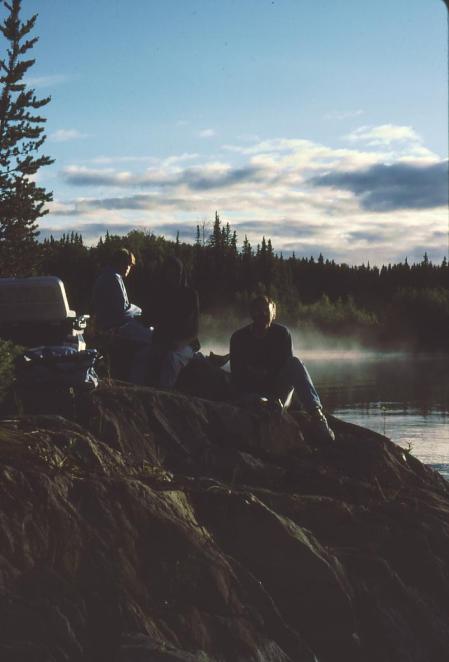
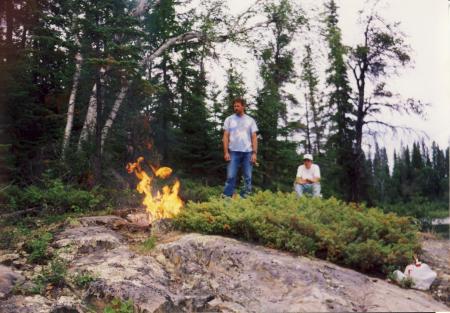
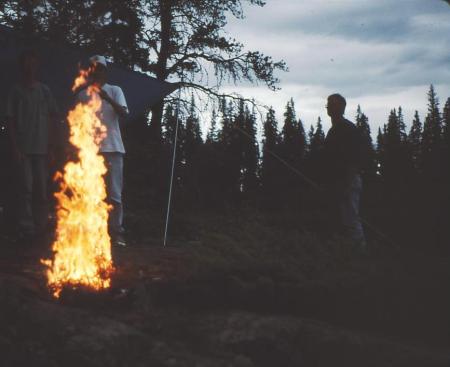
Beefaroni for supper at 6 pm. I’m not sure why I made several specific notes about the beefaroni food. This may have indicated good or bad feelings about the food choice (I think good). We relaxed around the campfire, but then set up the canopy when it started to drizzle. Of course the rain quit two minutes after the canopy was set up.
At this point we began boiling water for drinking as our water supply packed from home ran out.
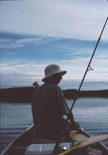
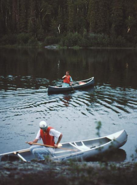
We did some solo canoeing in the adjacent bay and I waited near a beaver lodge but did not see the beaver again.
Bed at 9:30 pm.
Leave a comment