25 km total round trip;
1.75 hr, 14 km/hr excluding lunch/nap break;
2.5 hr, 10 km/hr including lunch/nap break.
Route: N on RR22, (starting just N of TR274), W on TR280, N on RR30, E on TR282, S on RR22.
30 minute drive to start of ride. 10:30 a.m. on the road from parked car. At intersection of TR280 & RR24 by 11 a.m., wind at back all morning. Lunch break under high voltage transmission lines along TR282 11:35 to 12, nap 12 to 12:15. Lunch: 2 sandwiches cheese, hummus, lettuce, mustard; almond butter and jam, trail mix. Back at car by 1:05 p.m.
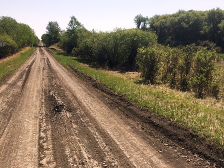
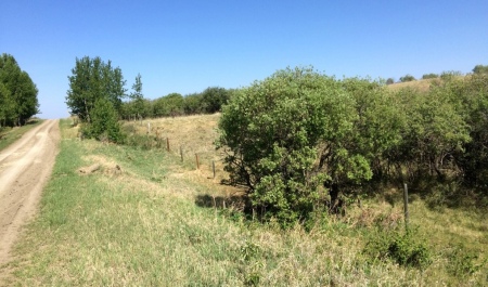
Moderately strong south wind. Legs, arms/wrists, sit bones starting to get sore last 15-20 minutes. For longer rides would need a break every hour or so at least. 1.75 inch wide Continental City Ride tires from MEC on Ironhorse mountain bike worked very well at reduced pressure of around 20 psi, even in very course, loose gravel. 80% of ride fairly smooth, 20% rough and loose gravel in low areas where speed close to walking speed e.g. rough gravel in West Nose Creek valley along TR282. Walked up steep hill heading E out of valley along TR282.
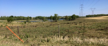
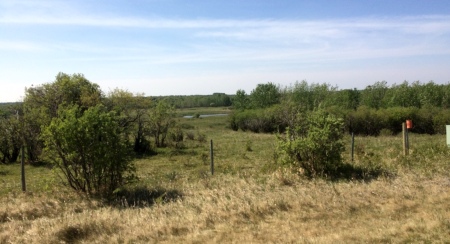
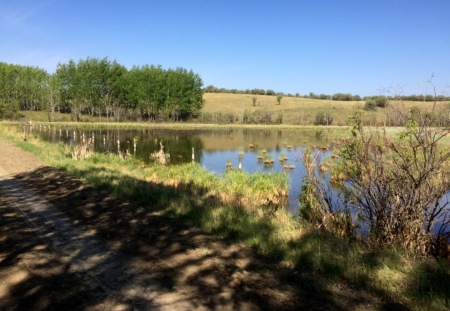
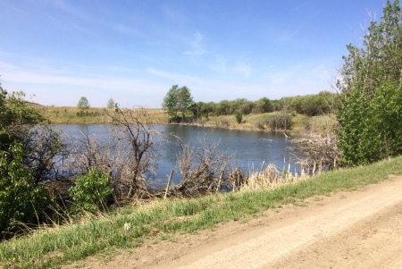
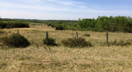
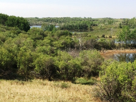
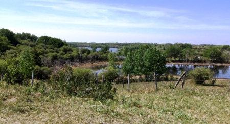
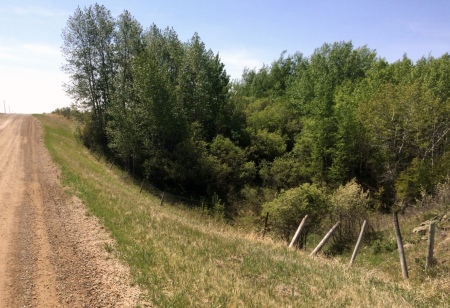
The most interesting section is the native parkland along TR280, from which most of the photos below were taken. Looking at mapping of the area, it appears the numerous wetlands along TR280 in this area may contribute some groundwater and springs to the West Nose Creek. I’m not aware of the current conservation status of this area, if any. I hope that conservation easements will be placed on the area, if not already in place.
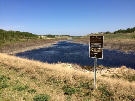
Municipal Reserve north of TR280 for wetland in West Nose Creek valley
.


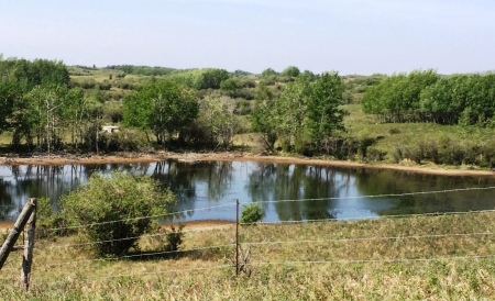
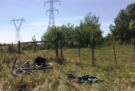
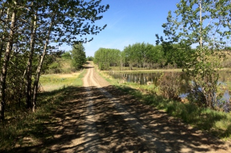
Lunch and nap break along TR282
Coulee crossing heading S on RR22
